
Groundwater Guardians:
Linking Research, Policy, and People to Save Springs
Keywords:
springsAbstract
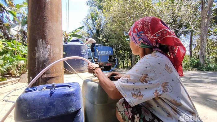
Kulon Progo Regency in Indonesia is home to a rich variety of geological features, an underground landscape that holds great promise for water resources like natural springs. Yet, in 2019, the community of Girimulyo Subdistrict faced a troubling clean water shortage, highlighting a growing need for smarter water management. To better understand where water is available and how it flows, researchers turned to modern mapping tools.
Using Geographic Information System (GIS) technology, along with field surveys and measurements of spring water flow, scientists set out to chart the location and behavior of springs across the region. They used ArcGIS software and a method called Nearest Neighbor Analysis to uncover patterns in the data. What they found was surprising: springs in Kulon Progo do not follow a regular pattern; they appear scattered randomly across the landscape. The strength of each spring’s water flow also varied, depending on the land’s slope and the type of soil.
These findings are not just academic. They offer a practical foundation for improving how the region manages its water; a critical step toward preventing future water crises and ensuring clean water access for all. Want to know more? Let’s read this!
References
Handayani, W., Sarwono, J., & Nugroho, H. (2020). Spring potential mapping using GIS-based analysis in upland watersheds. Indonesian Journal of Geography, 52(2), 145-57. DOI: 10.22146/ijg.51522
Pemerintah Kabupaten Kulon Progo. (2022). Profil sumber daya alam Kulon Progo [Profile of natural resources in Kulon Progo]. [Internet]. Available from https://kulonprogokab.go.id
Wijaya, A., Hartono, D. M., & Lestari, A. D. (2021). Climate change and its implications for water resource management in Java. Journal of Environmental Science and Policy, 24(1), 7888. DOI: 10.3126/jesp.v24i1.41567
Yuningsih, E., Rohman, A., & Prasetyo, L. B. (2022). Spatial pattern analysis of spring distribution using GIS in volcanic regions. Geoplanning:
Journal of Geomatics and Planning, 9(1), 2333. DOI: 10.14710/geoplanning.9.1.23-33
Downloads
Published
Issue
Section
License
Copyright (c) 2025 Intan Nur Aisah, Dito Hardiansyah

This work is licensed under a Creative Commons Attribution-NonCommercial-NoDerivatives 4.0 International License.
Authors who publish with this journal agree with the following terms:
- Authors retain copyright and grant the journal right of first publication, with the work 1 year after publication simultaneously licensed under a Creative Commons attribution-noncommerical-noderivates 4.0 International License that allows others to share, copy and redistribute the work in any medium or format, but only where the use is for non-commercial purposes and an acknowledgement of the work's authorship and initial publication in this journal is mentioned.
- Authors are able to enter into separate, additional contractual arrangements for the non-exclusive distribution of the journal's published version of the work (e.g., post it to an institutional repository or publish it in a book), with an acknowledgement of its initial publication in this journal.
- Authors are permitted and encouraged to post their work online (e.g., in institutional repositories or on their website) prior to and during the submission process, as it can lead to productive exchanges, as well as earlier and greater citation of published work (See The Effect of Open Access).